The Radnor Forest/Fforest Clud
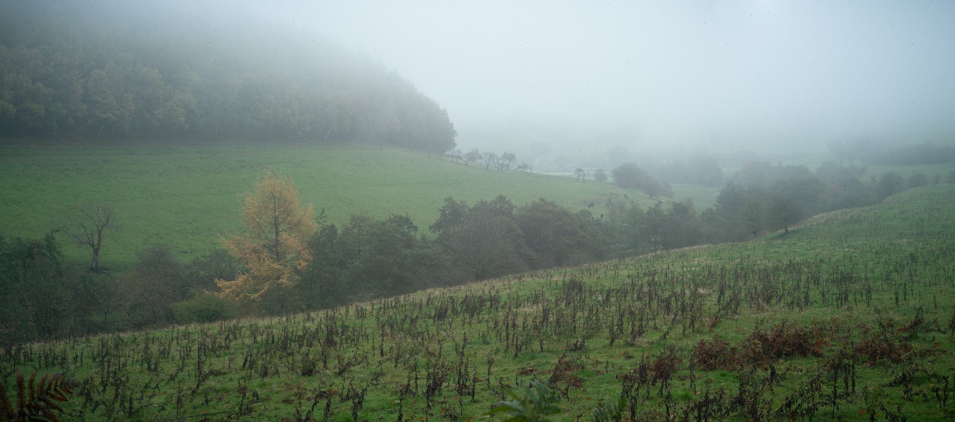
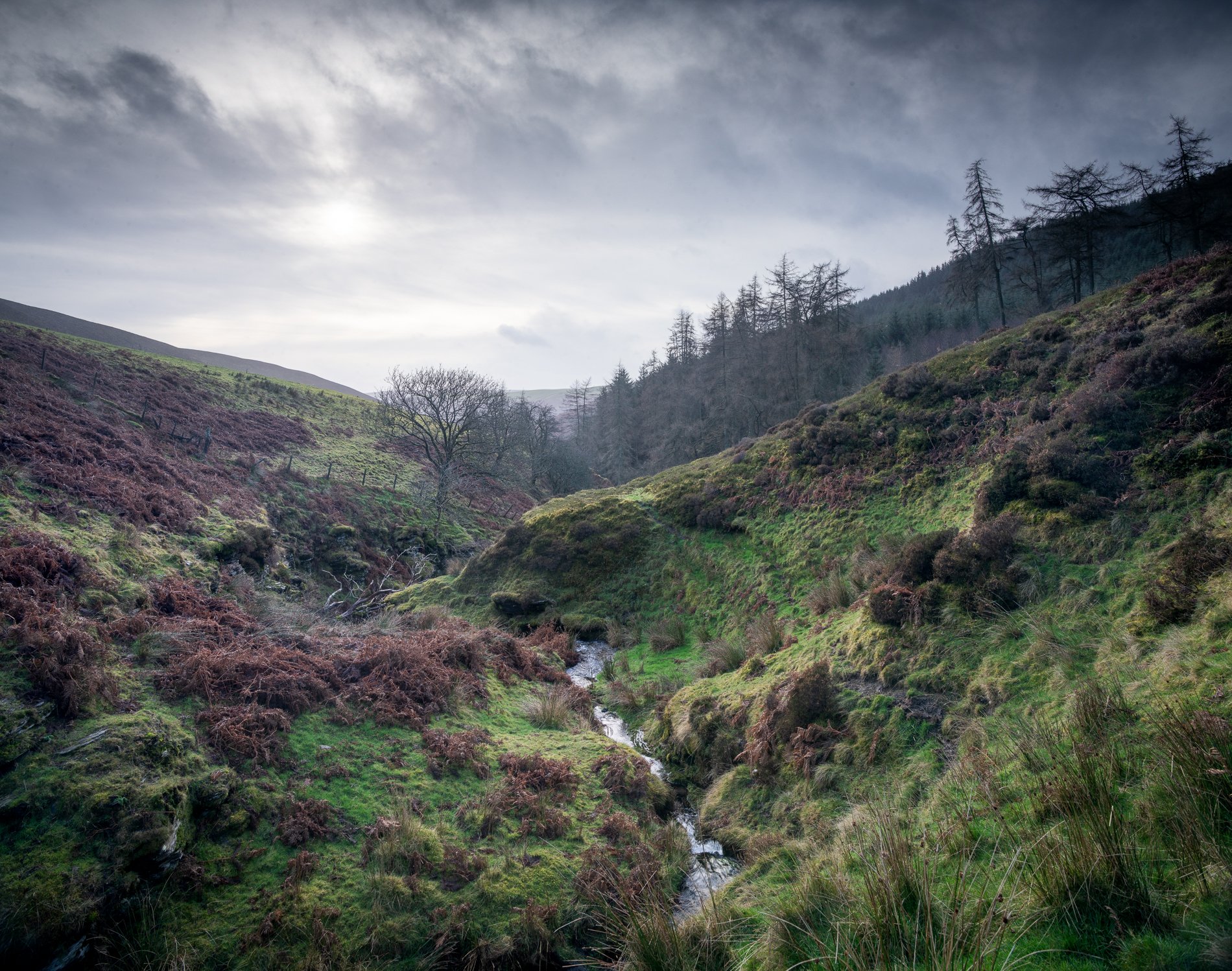
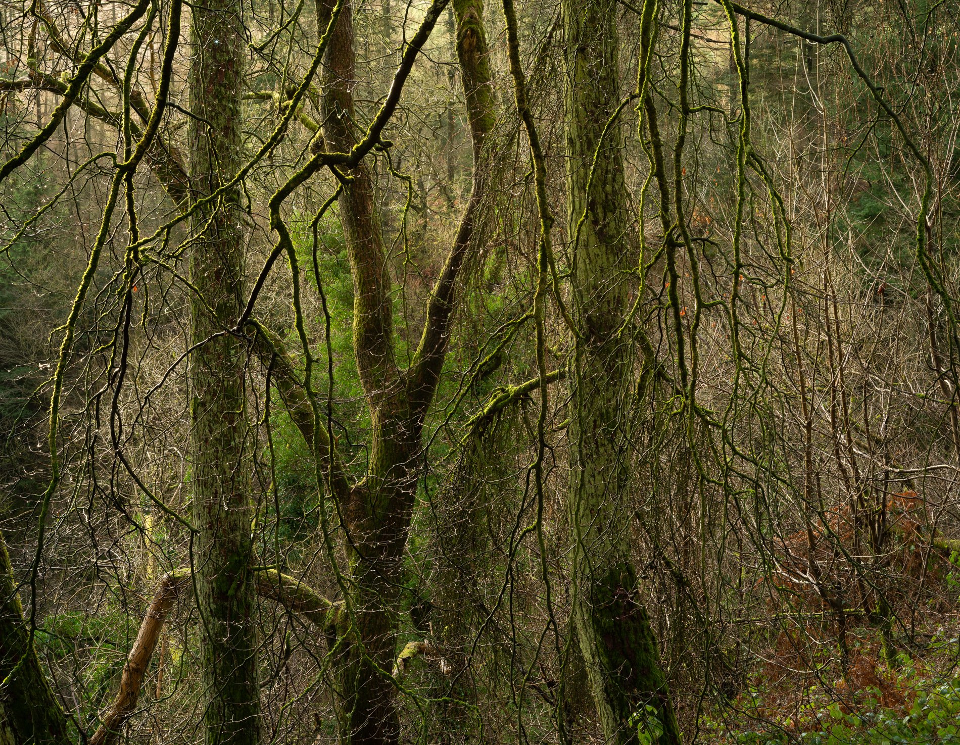
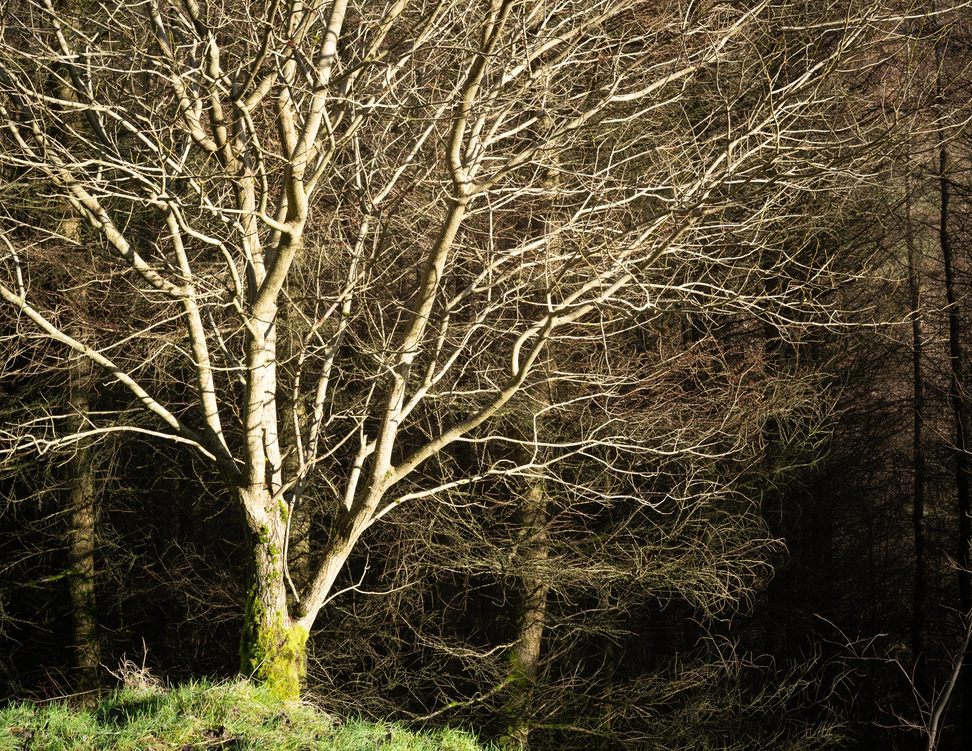
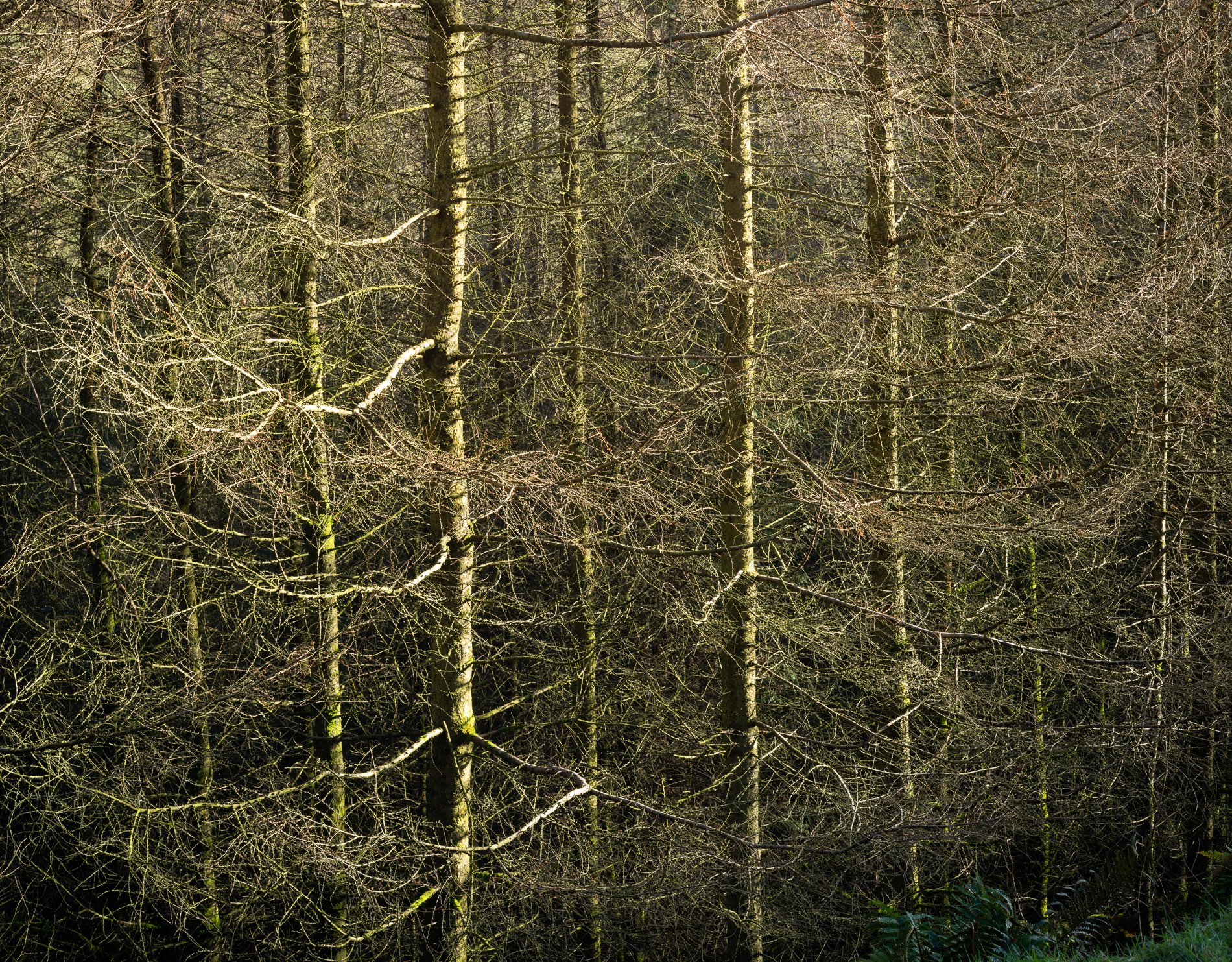
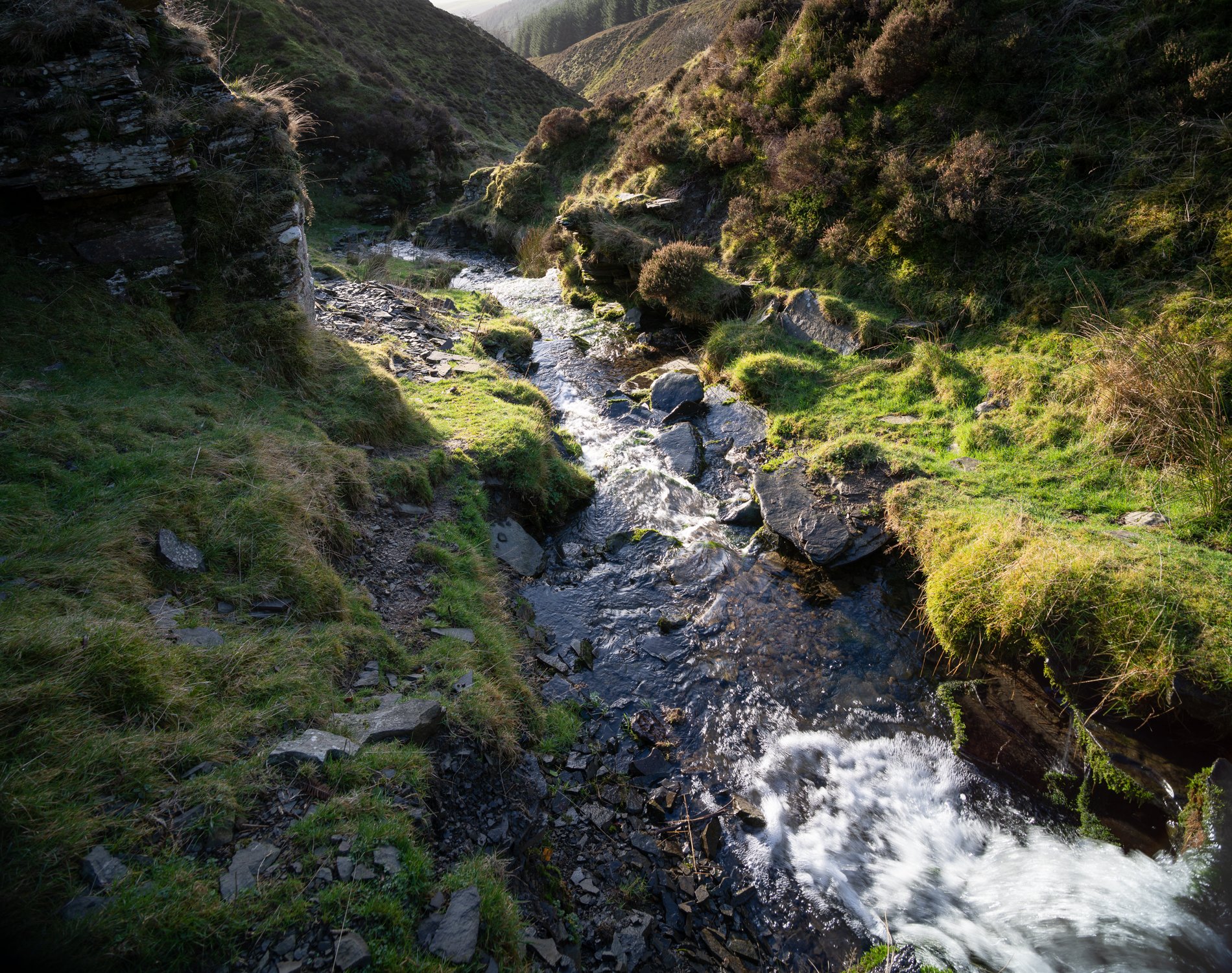
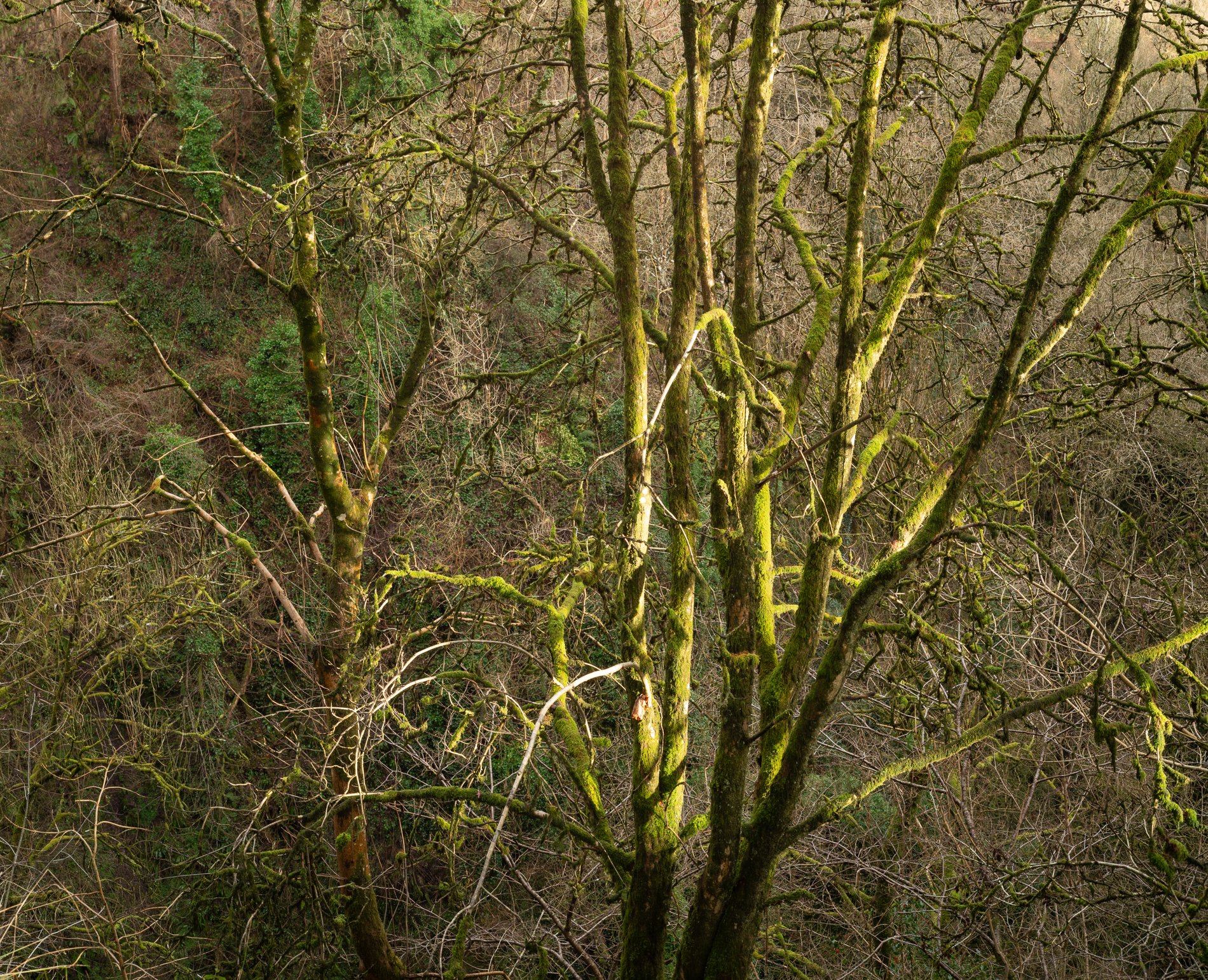
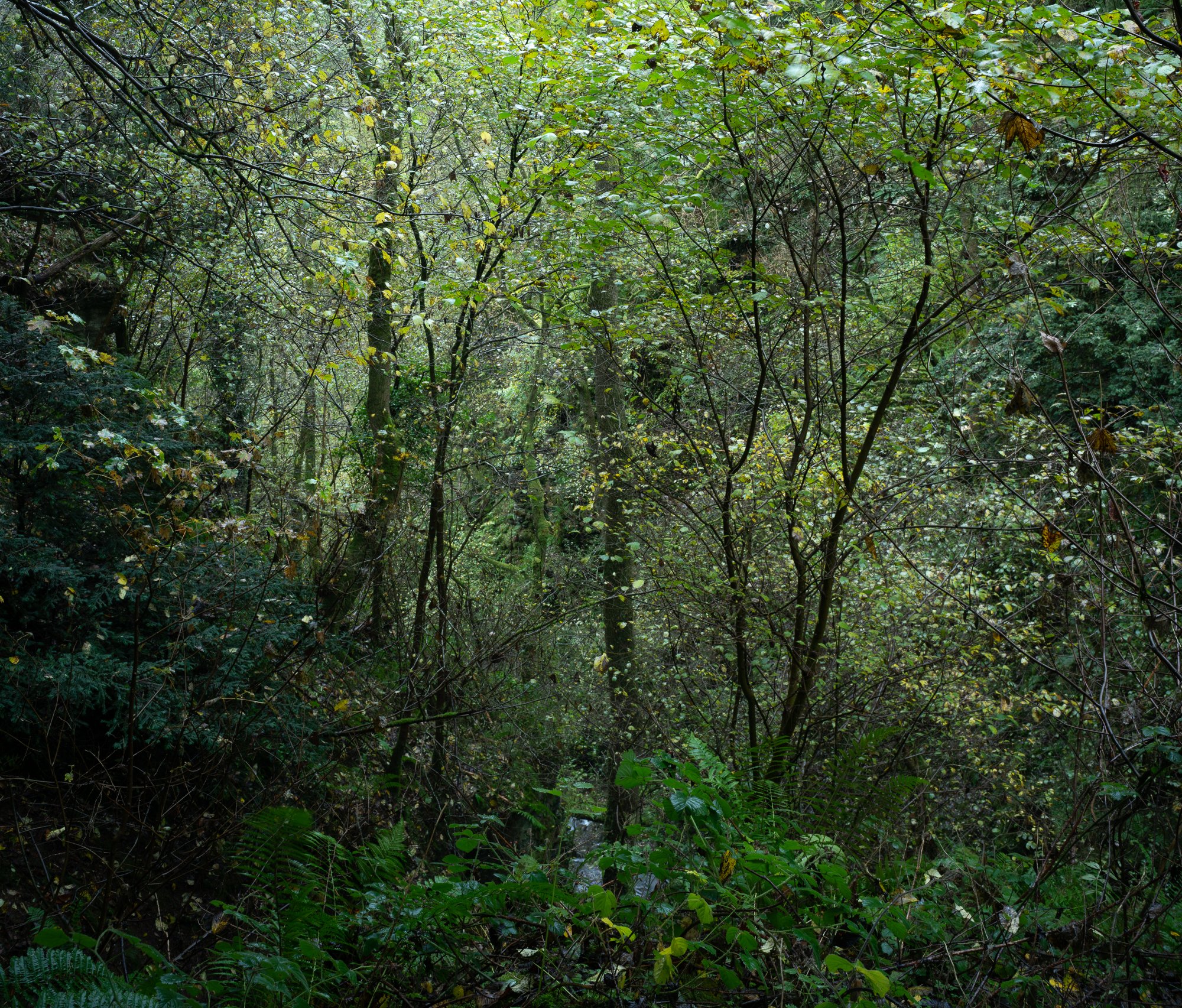
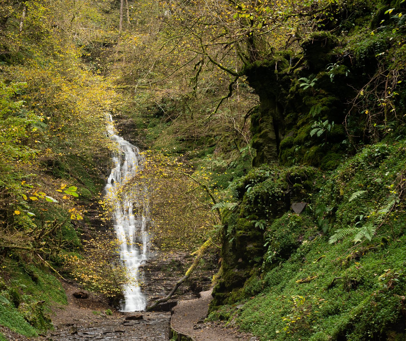
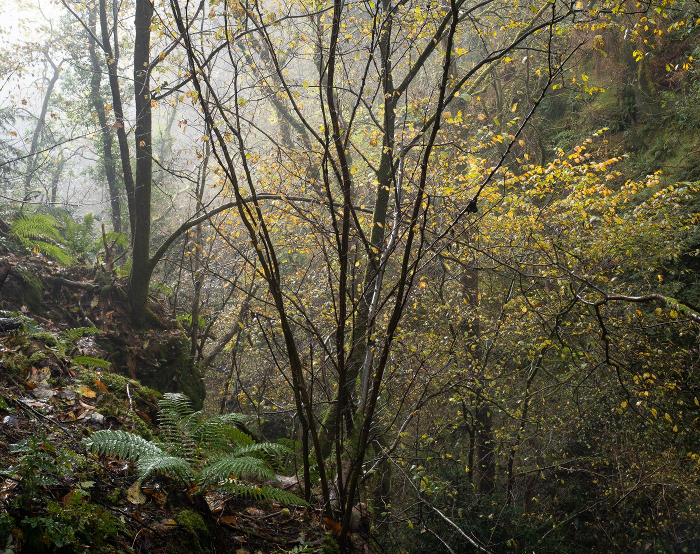
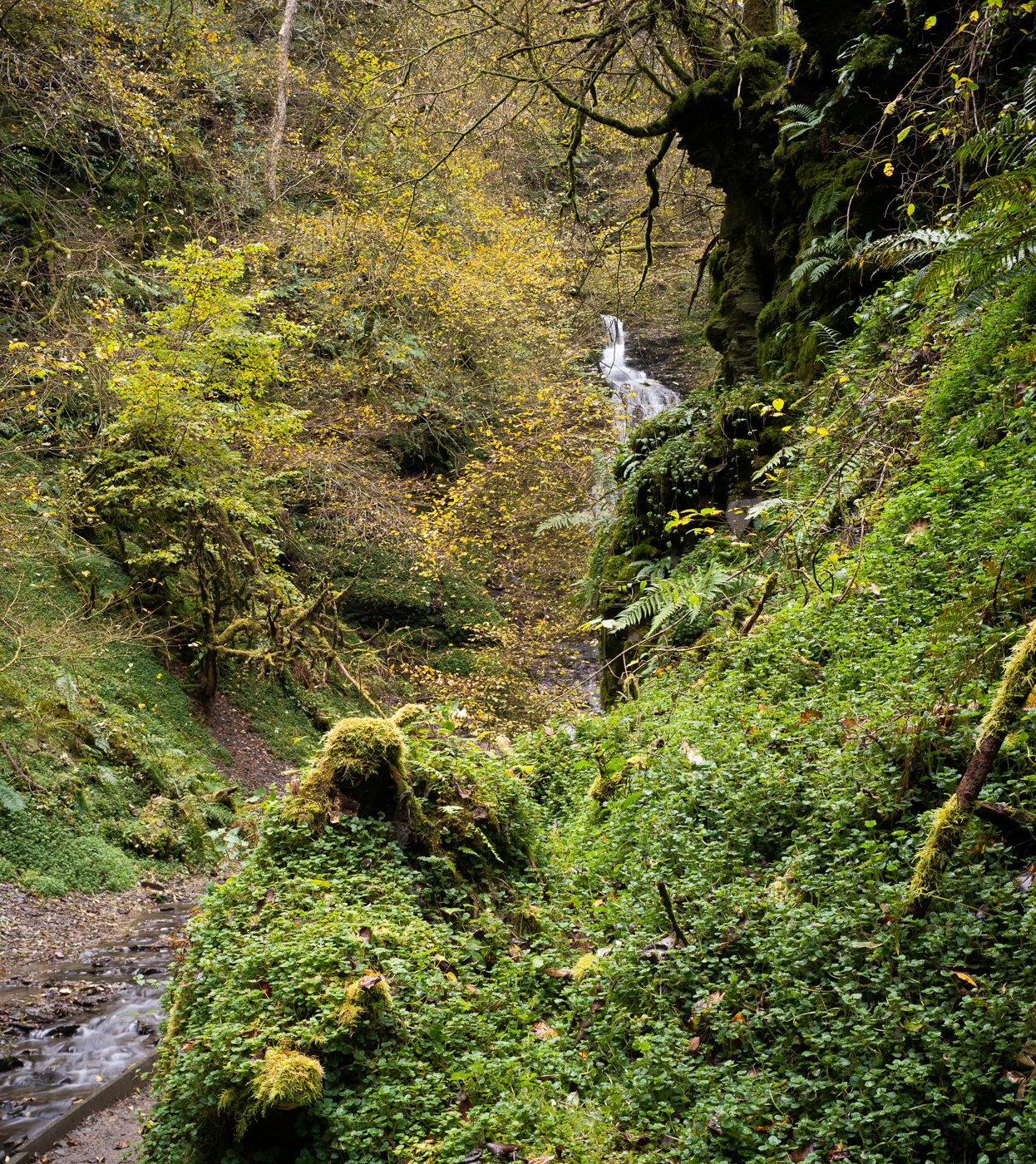
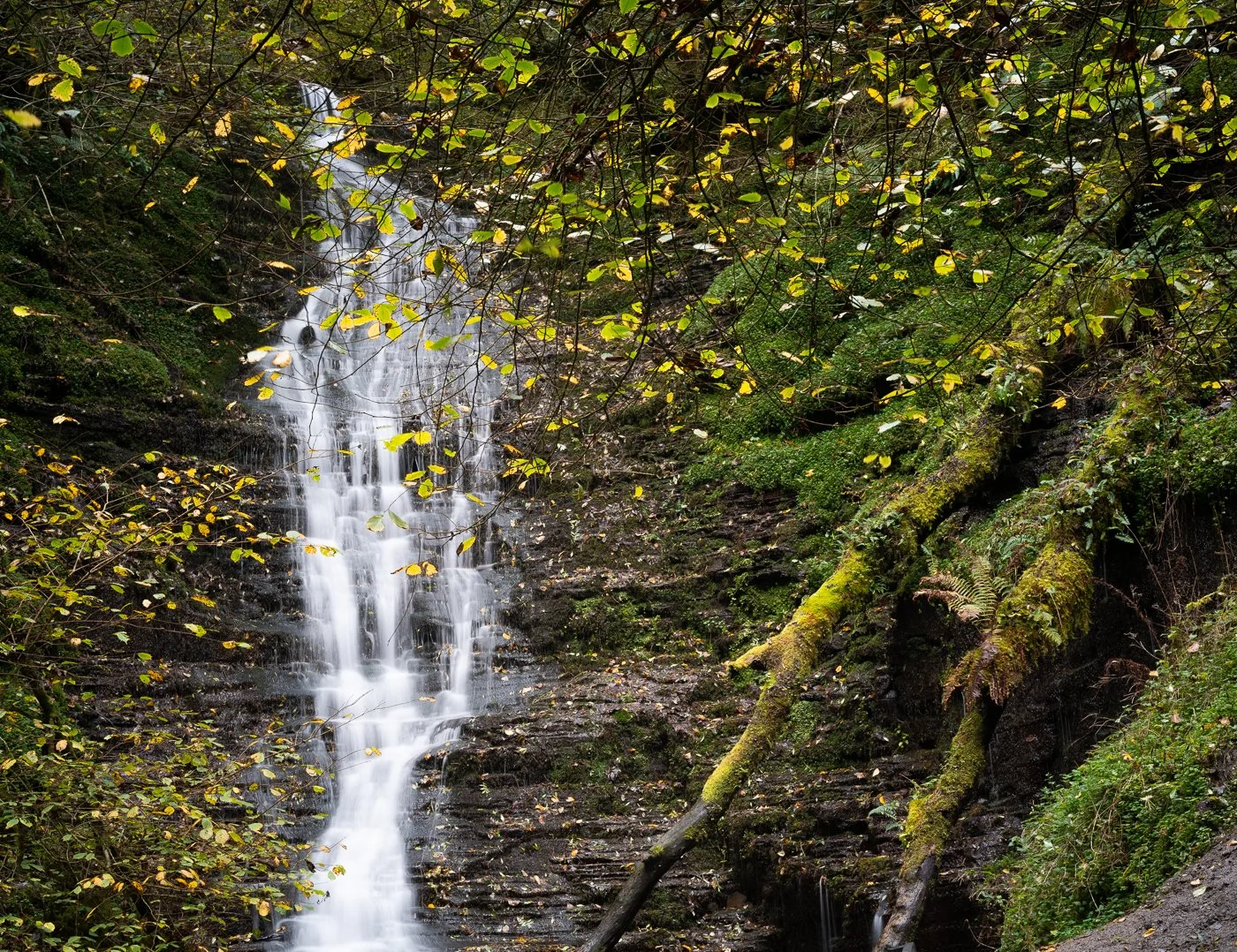
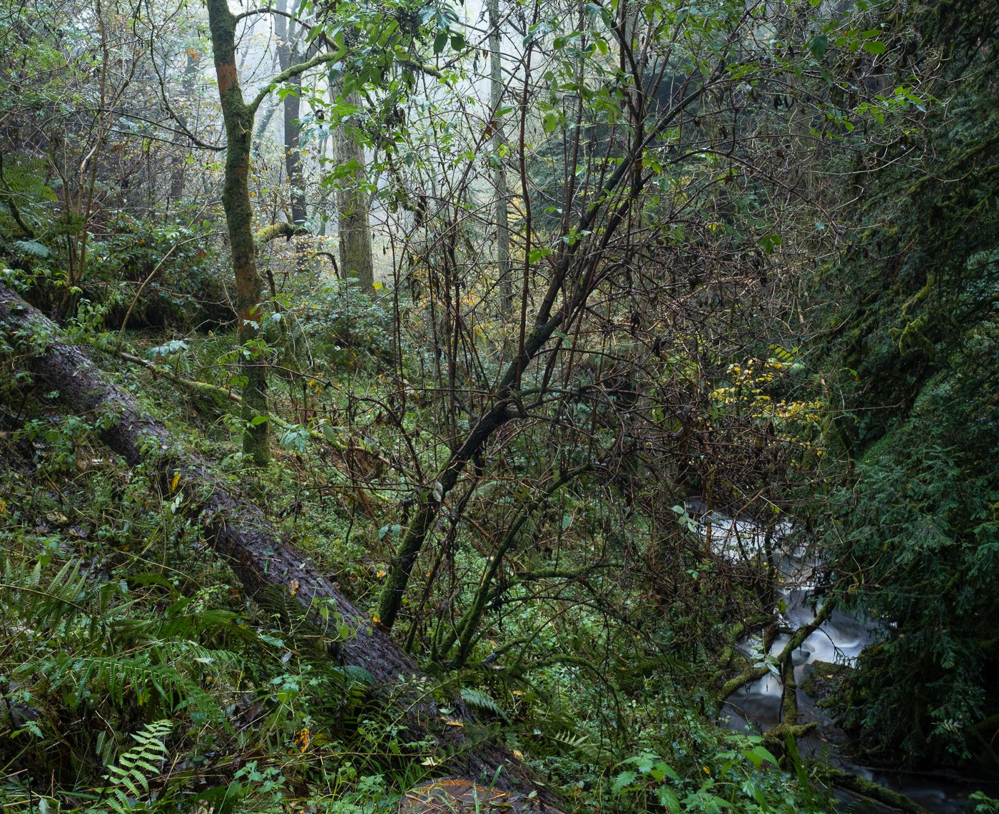
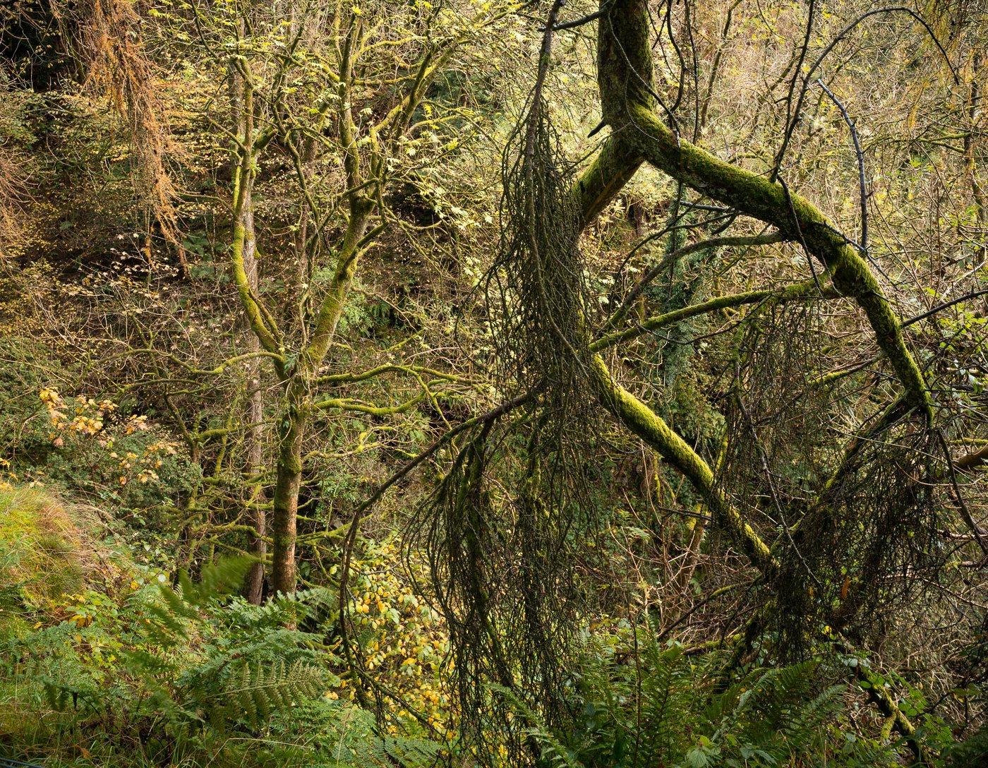
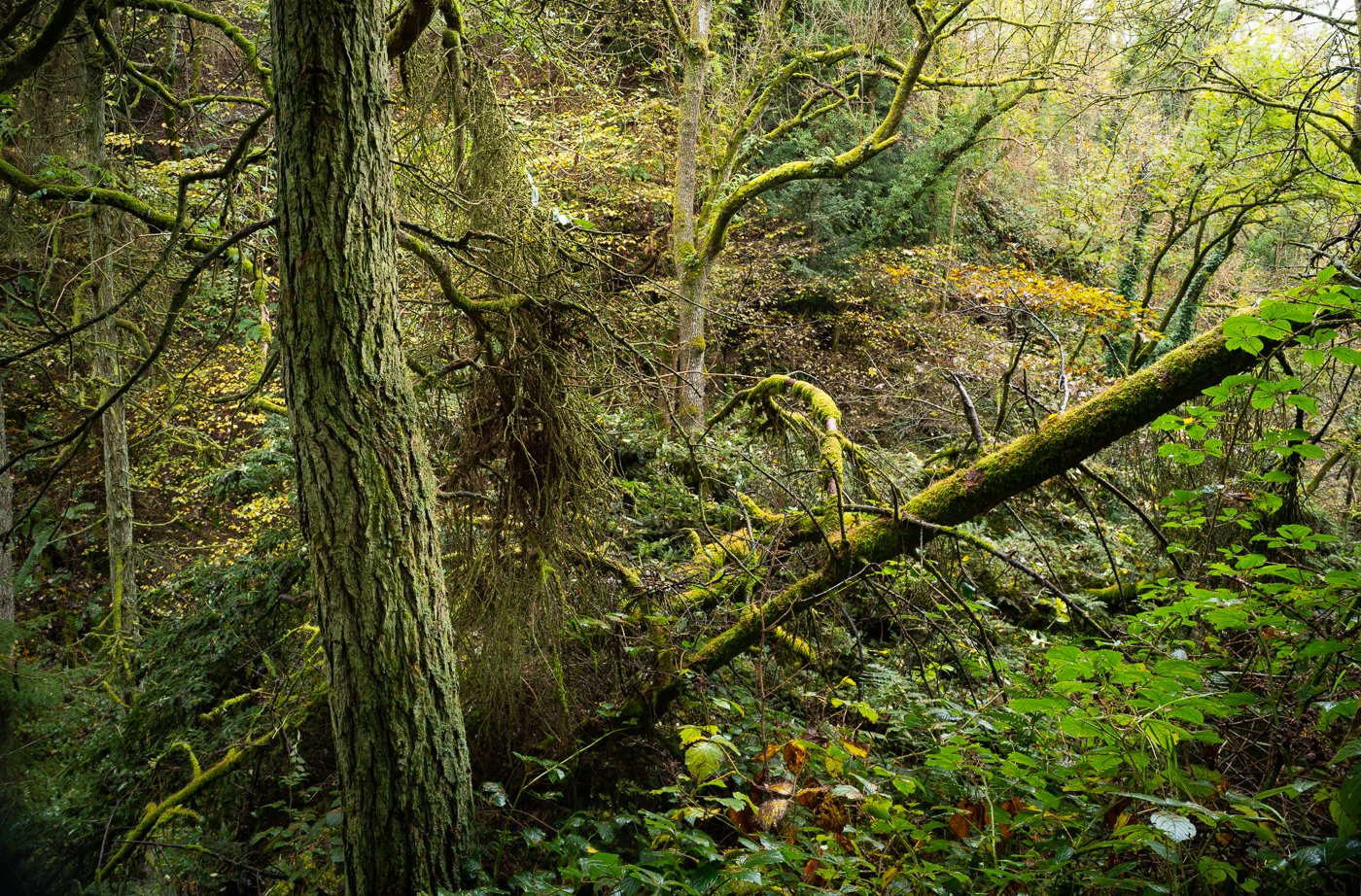
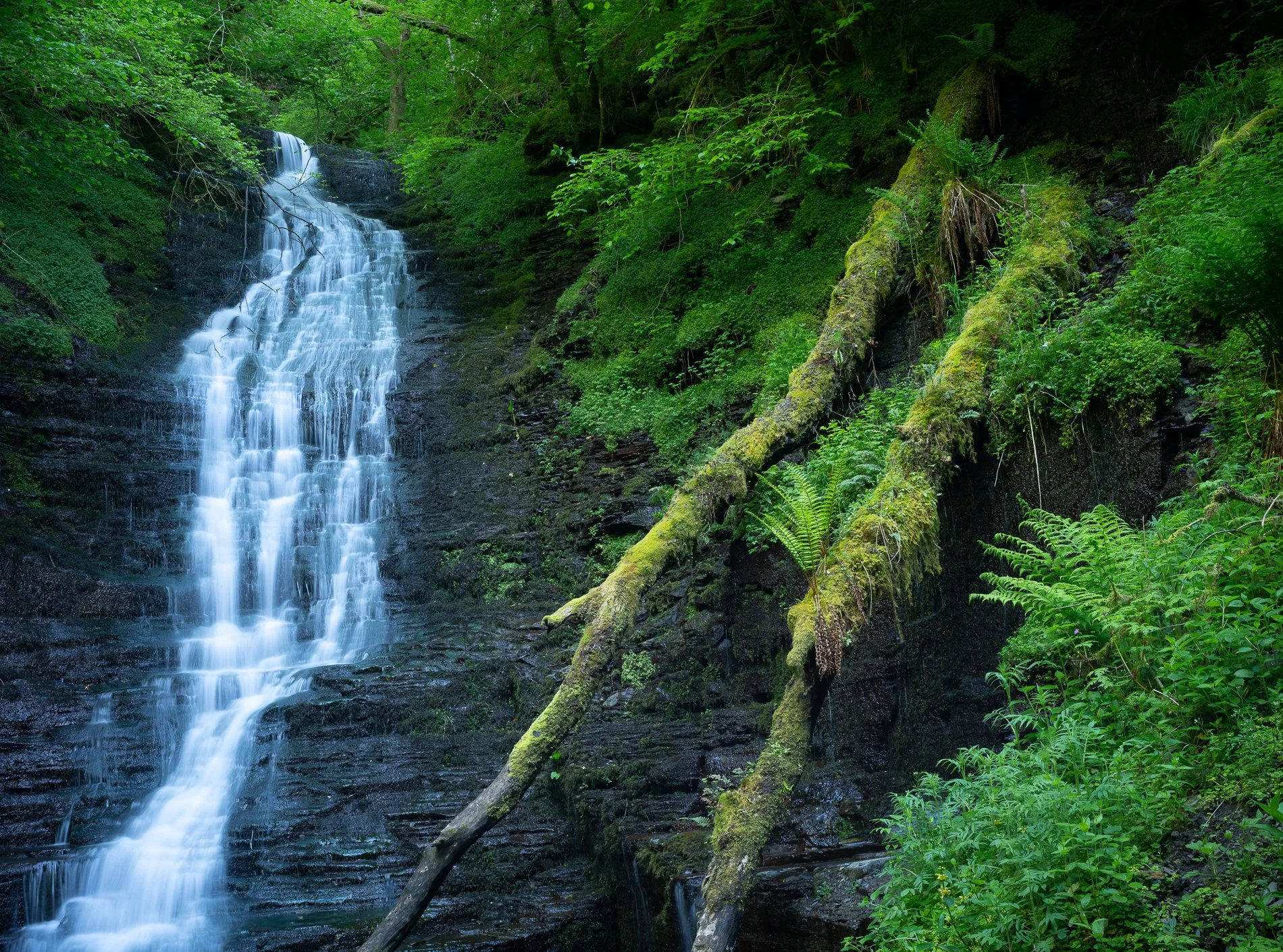
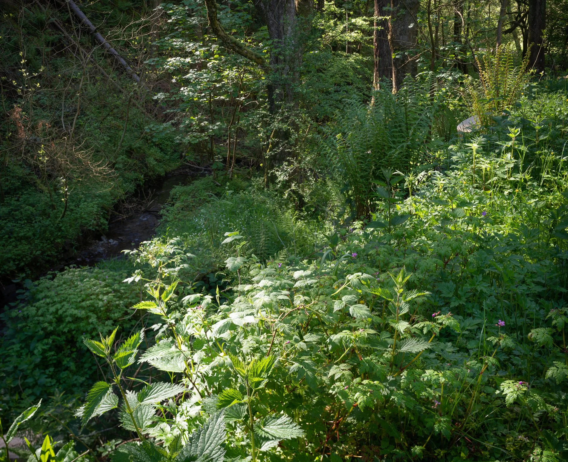
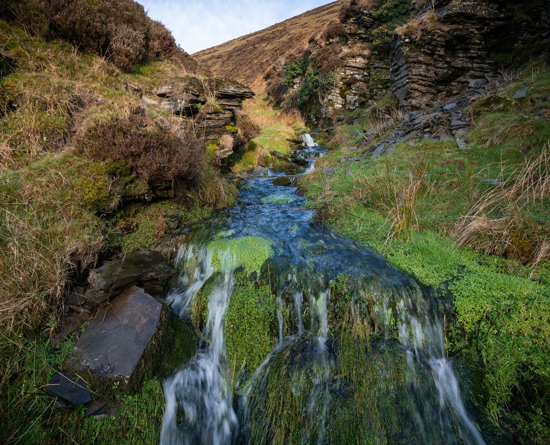
The Radnor Forest is not a forest but a mountain range which includes the highest point in the county of Radnorshire, Powys, the peak of Great Rhos. The term “forest” is used in an older sense of “hunting ground”, although extensive tracts of woodland do remain on the slopes and in the valleys. I first visited the famous “Water Break its Neck” waterfall decades ago and returned many times before thinking about where all the other trails might lead. It was only through studying the OS map that I discovered huge rocky ravines and upland plateaux within reach of the familiar canyon, which in recent years I’ve devoted a lot of my time in Wales to exploring in person. Close to the main body of the Radnor Forest are the interesting scalloped ridges of Llandegley Rocks, an ancient volcanic outcrop and the remains of the 12th century castle Crug Eryr from which there are dramatic views over the Radnor landscape.

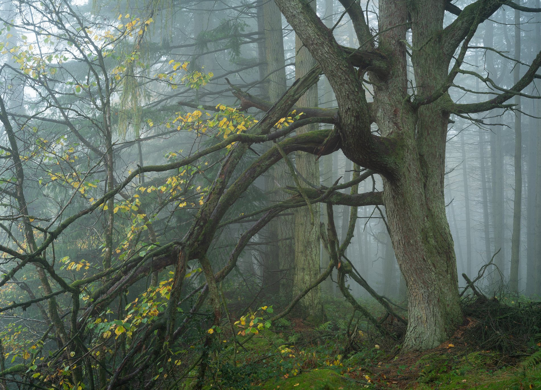
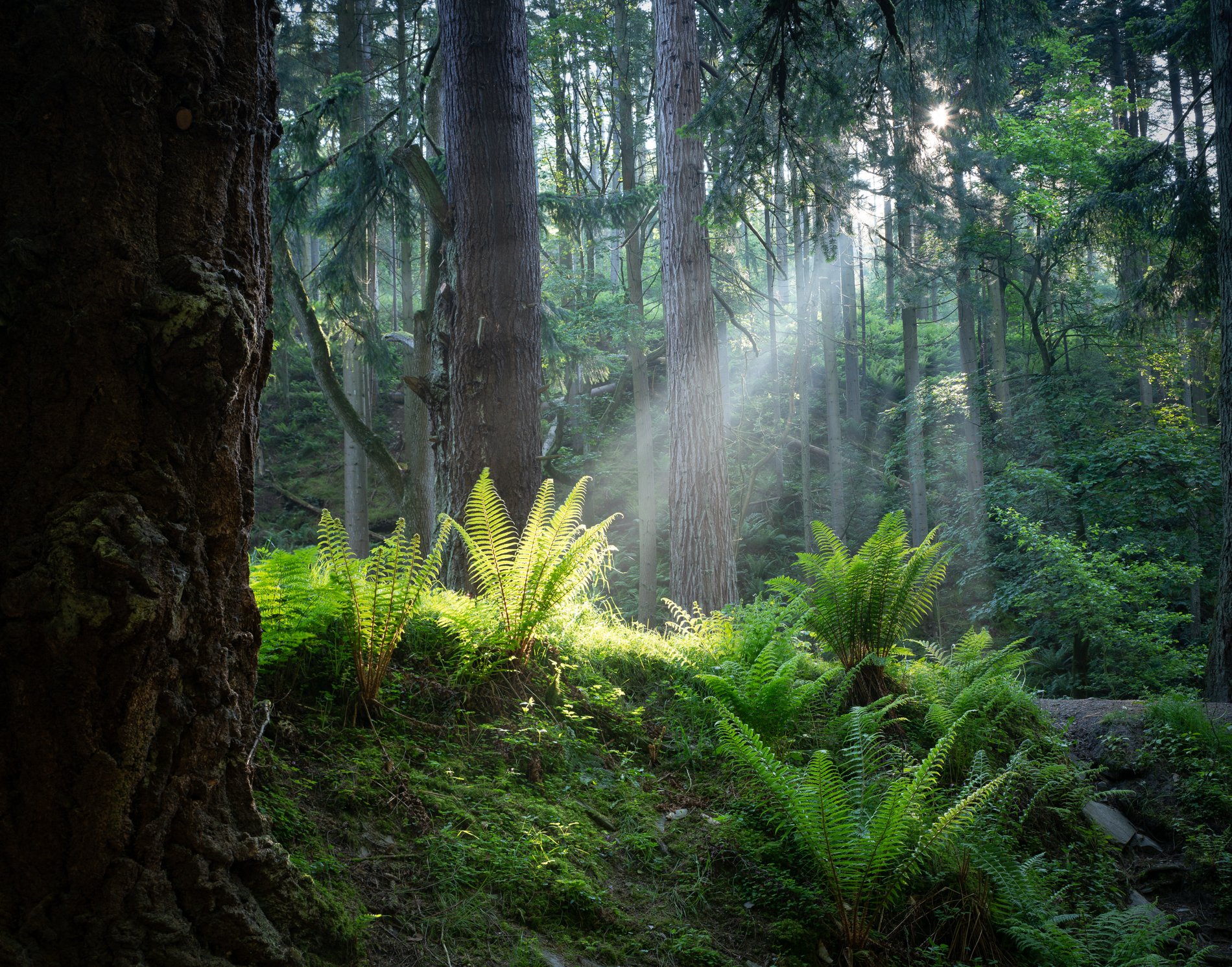
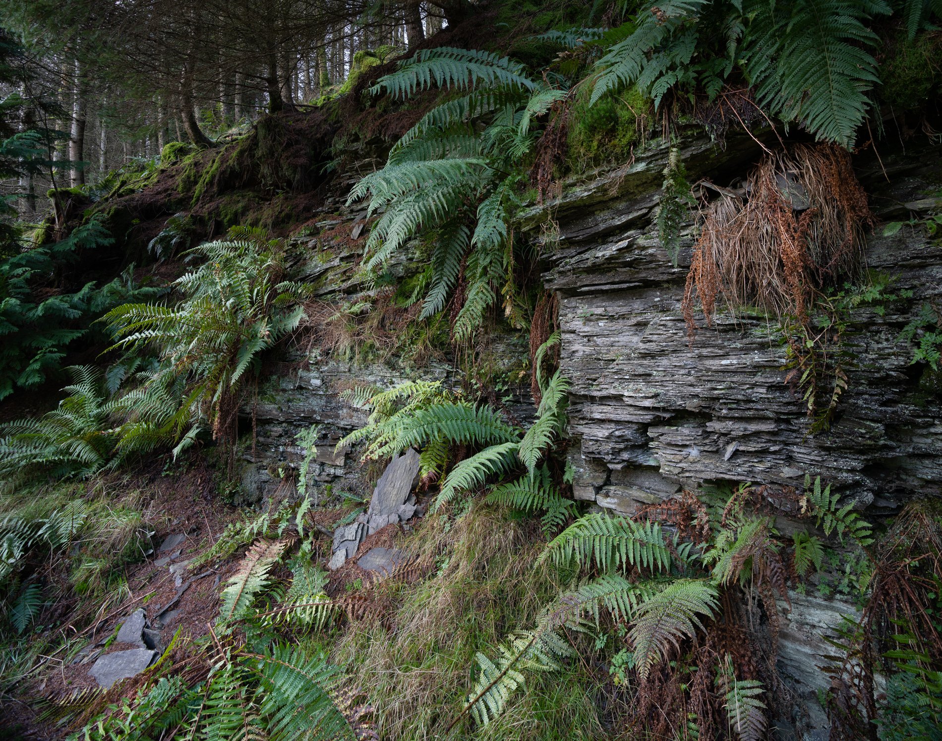
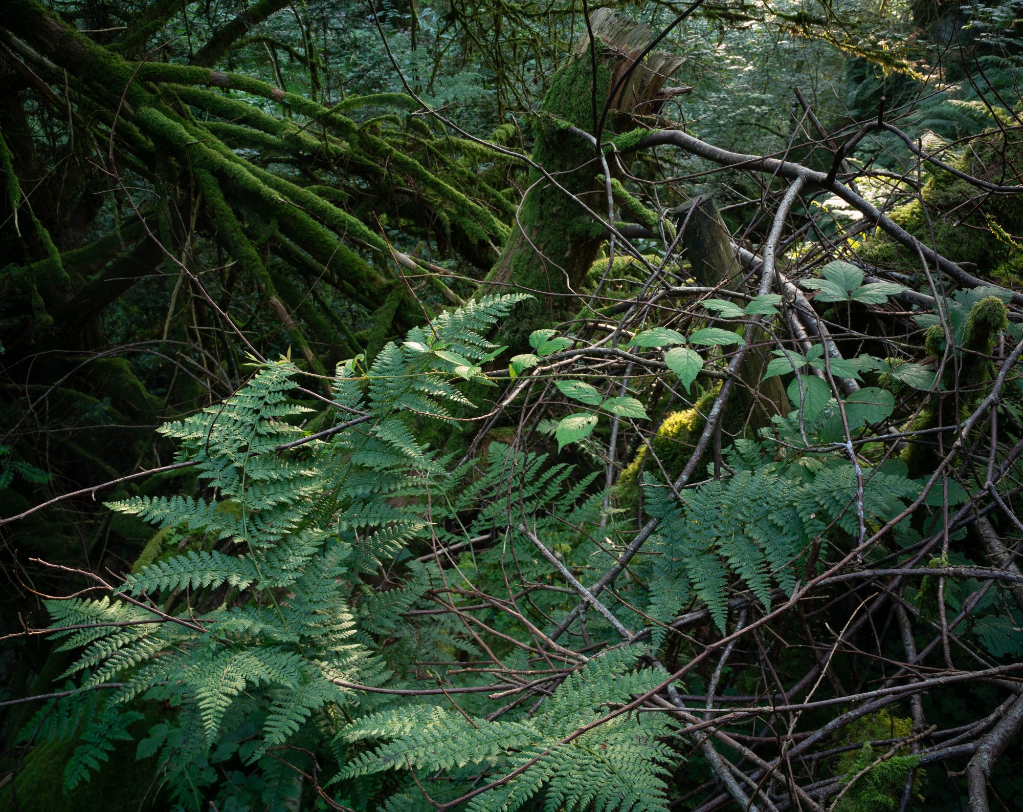
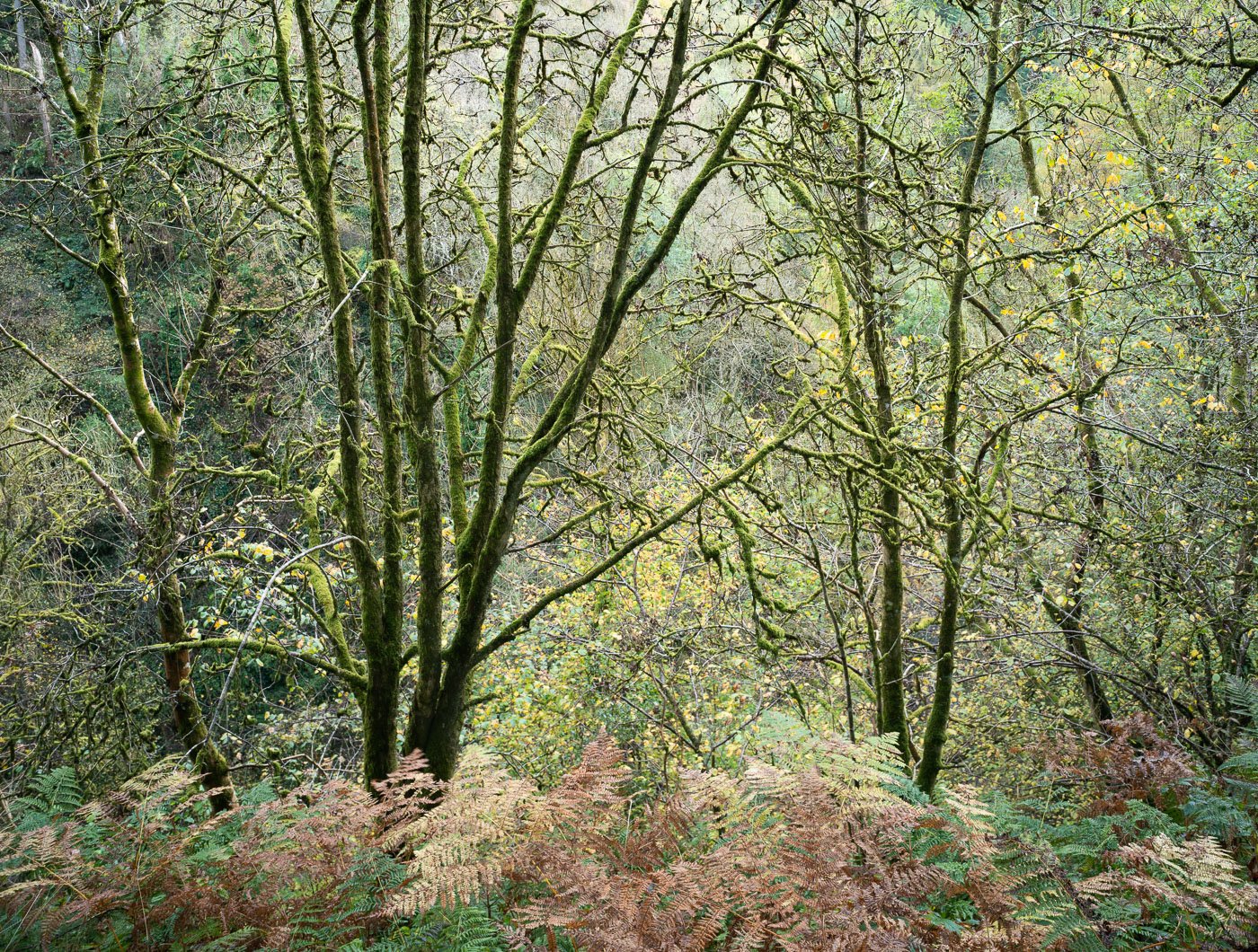
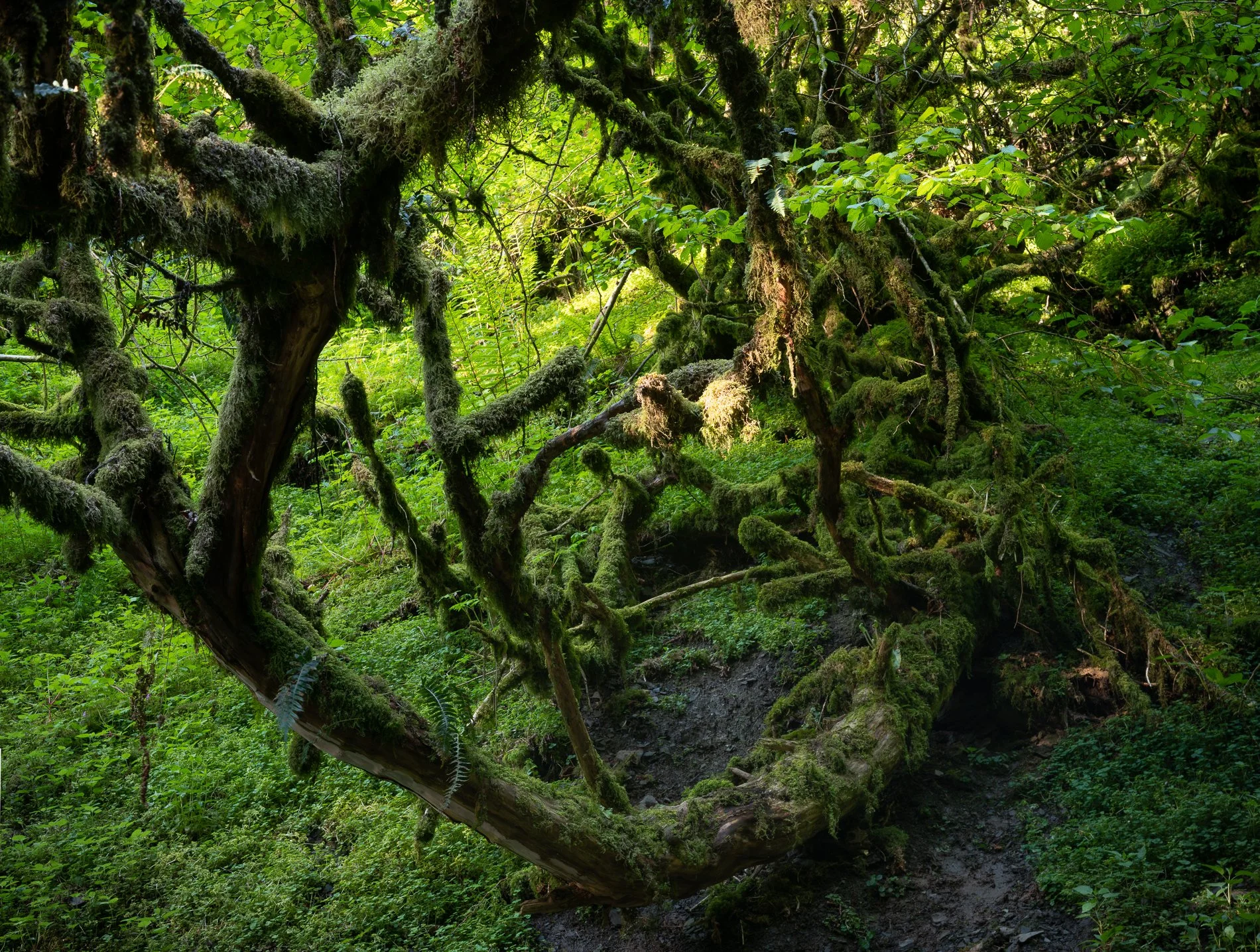
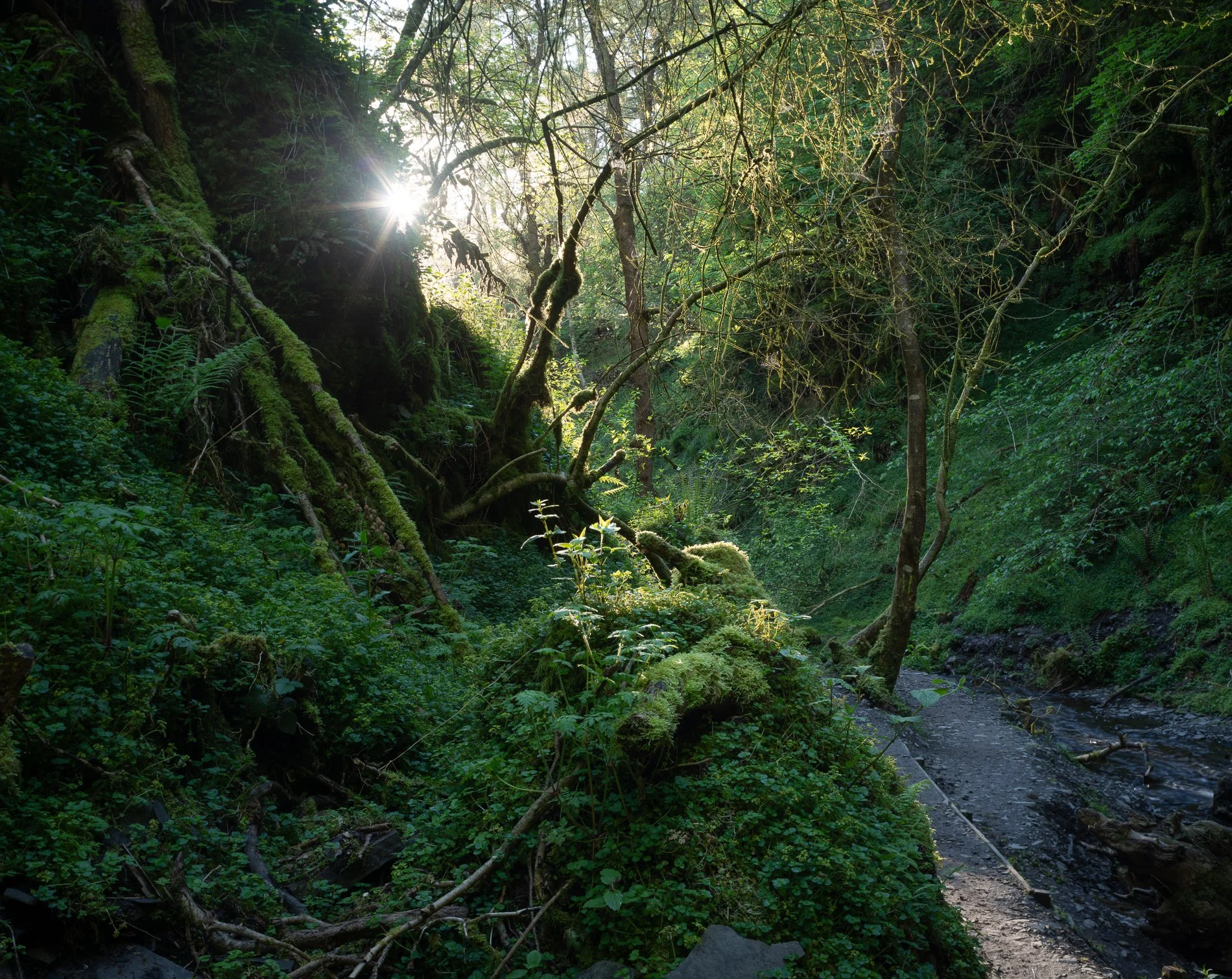
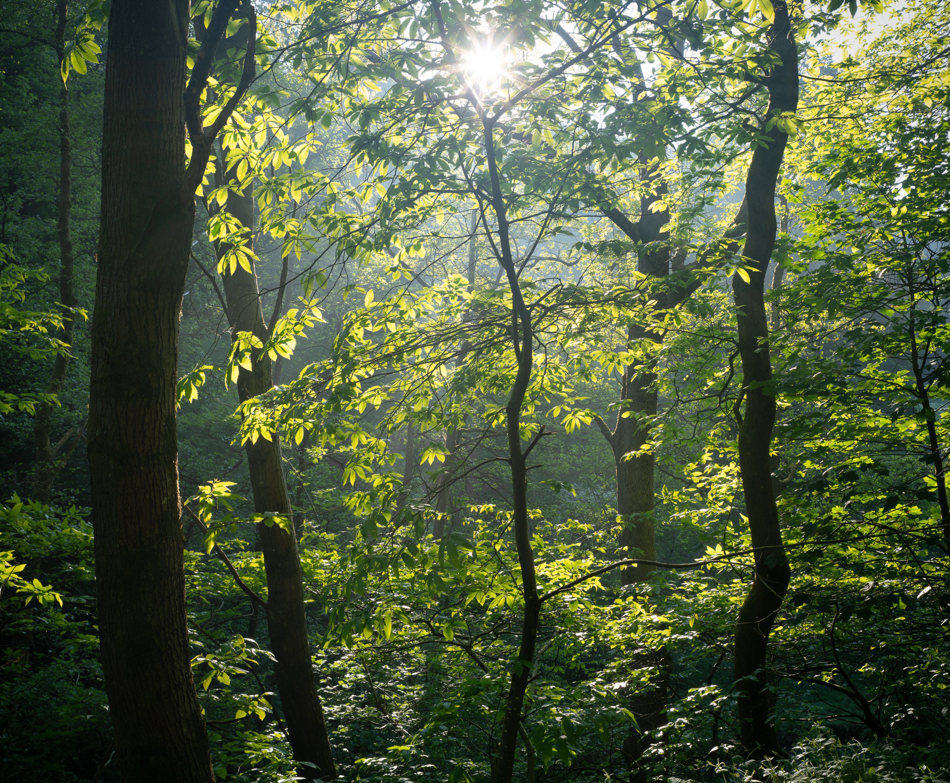
Secret Ravine. August 2023. Richmond Park Field Camera
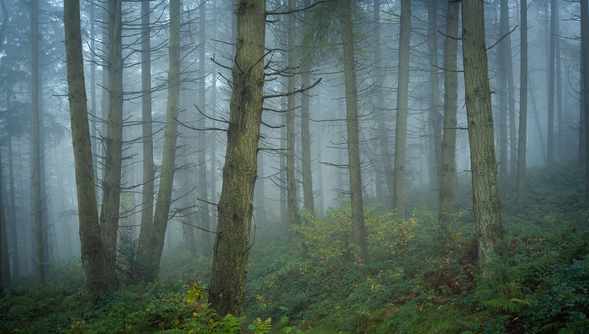

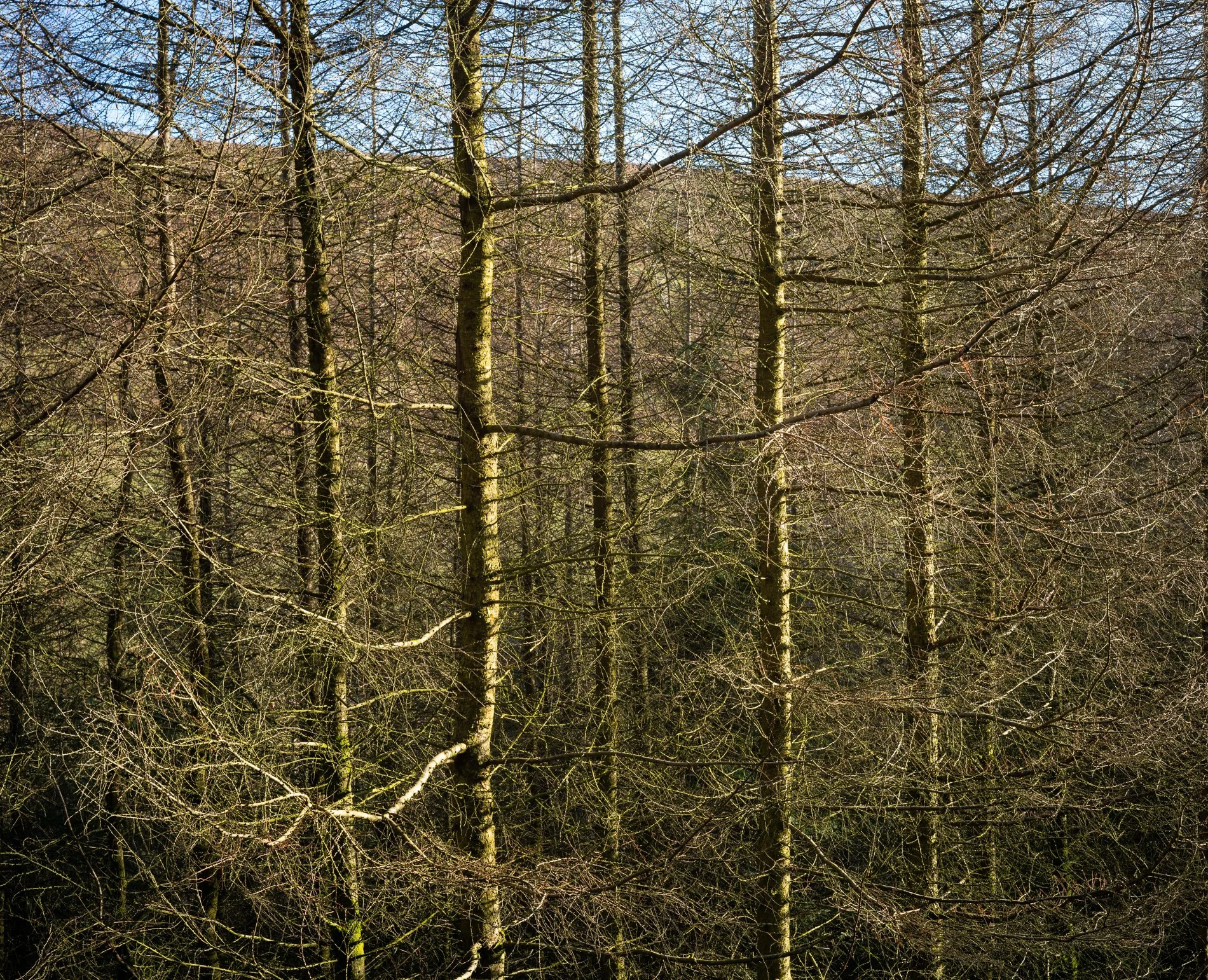
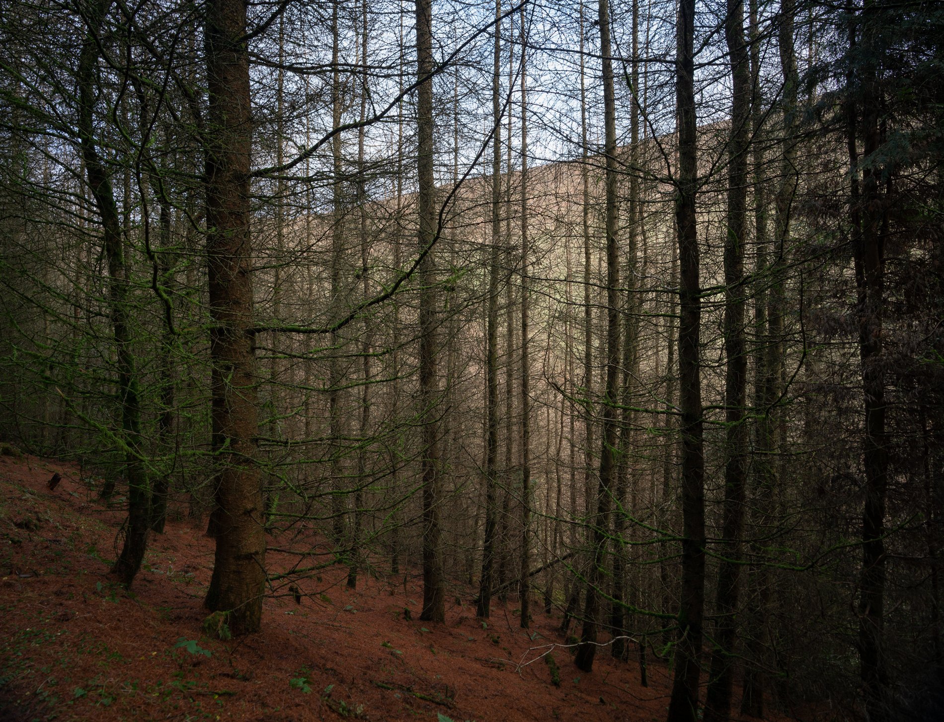
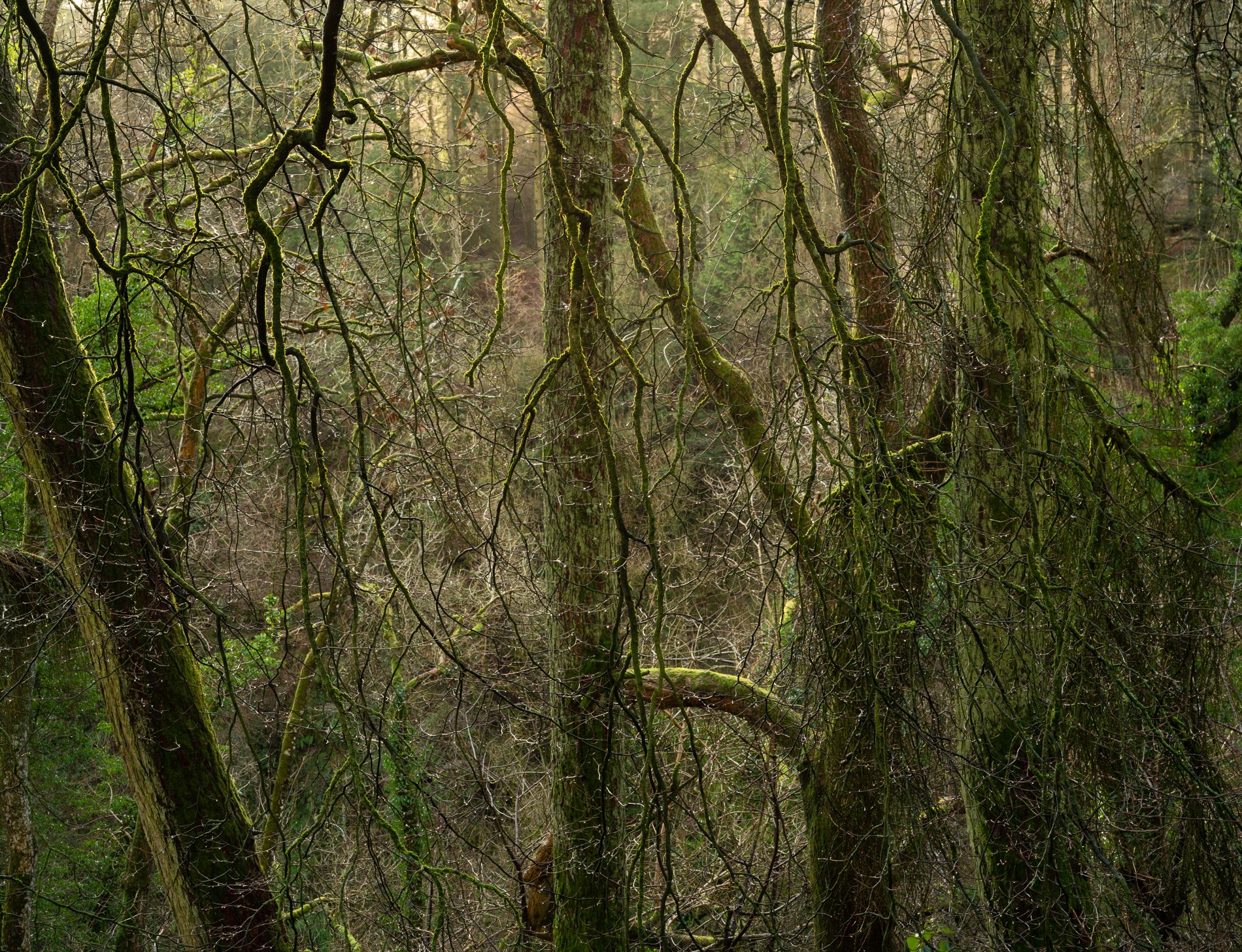


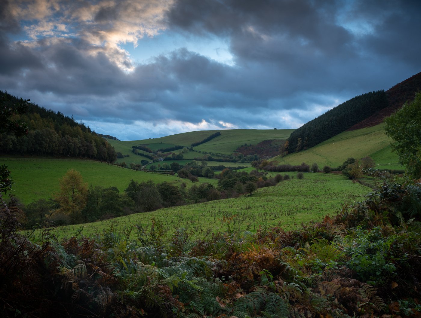

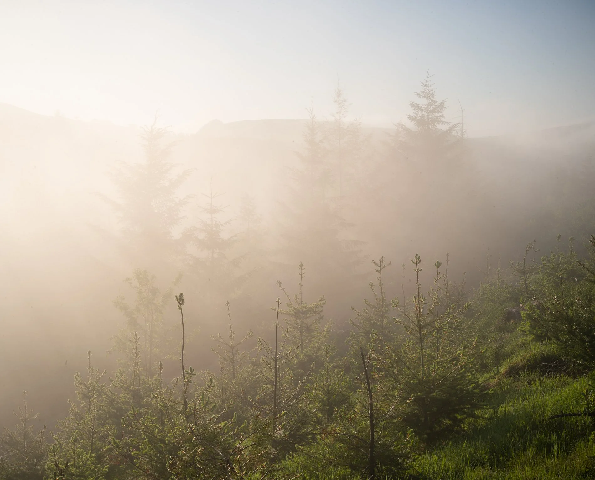
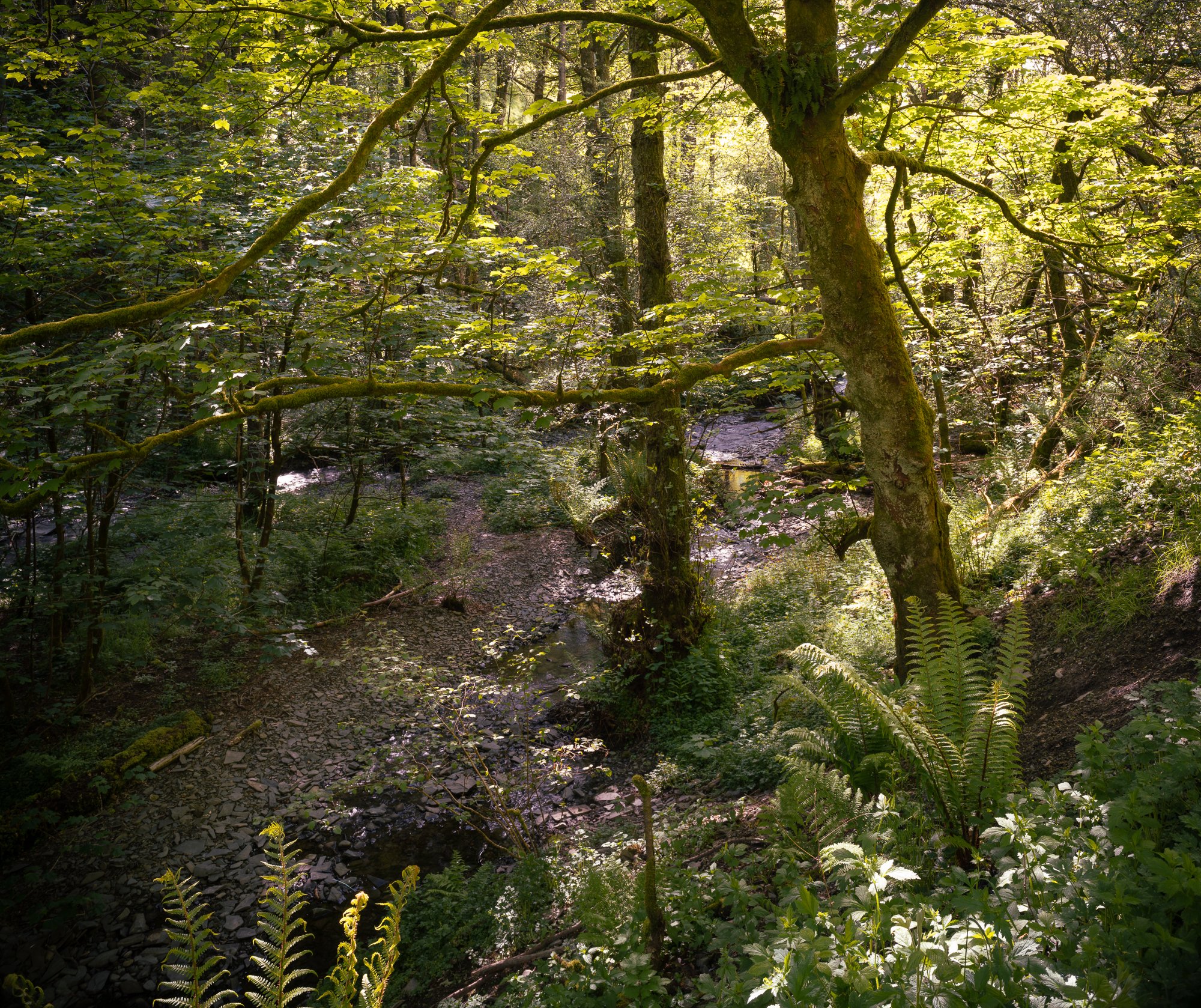

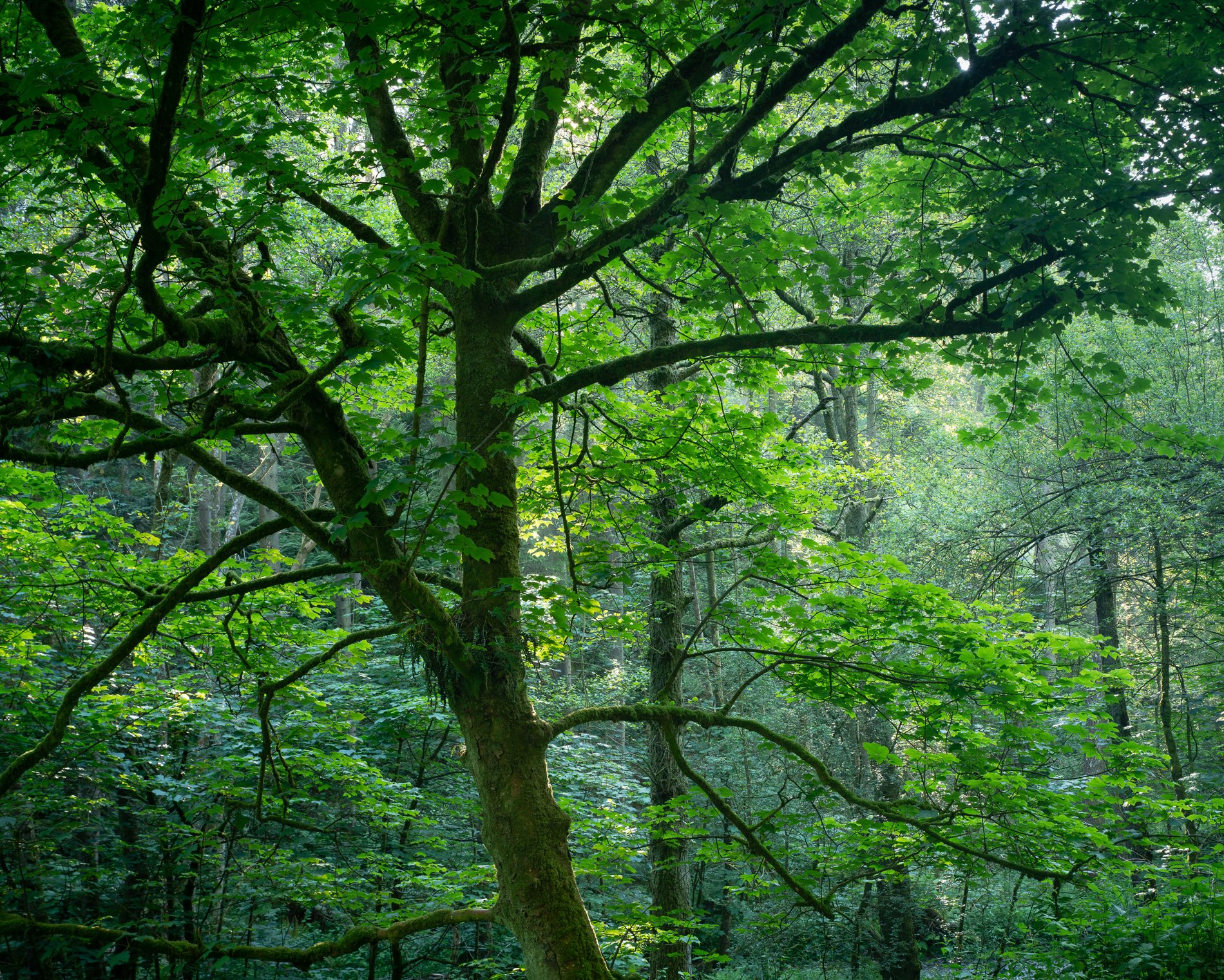

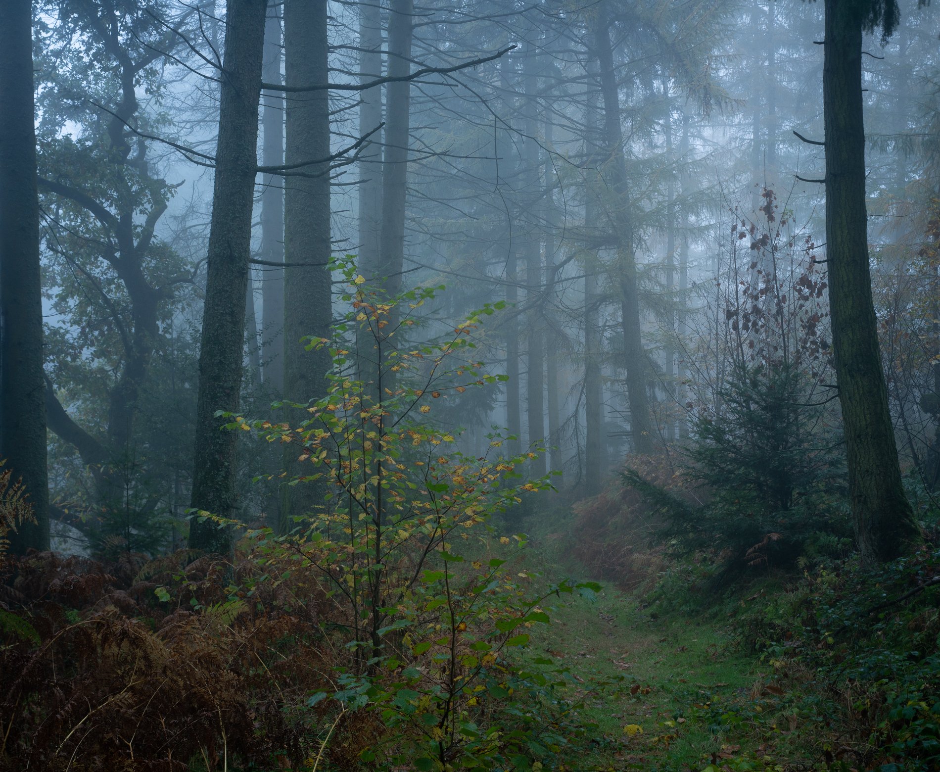
Cloud Forest, October 2022

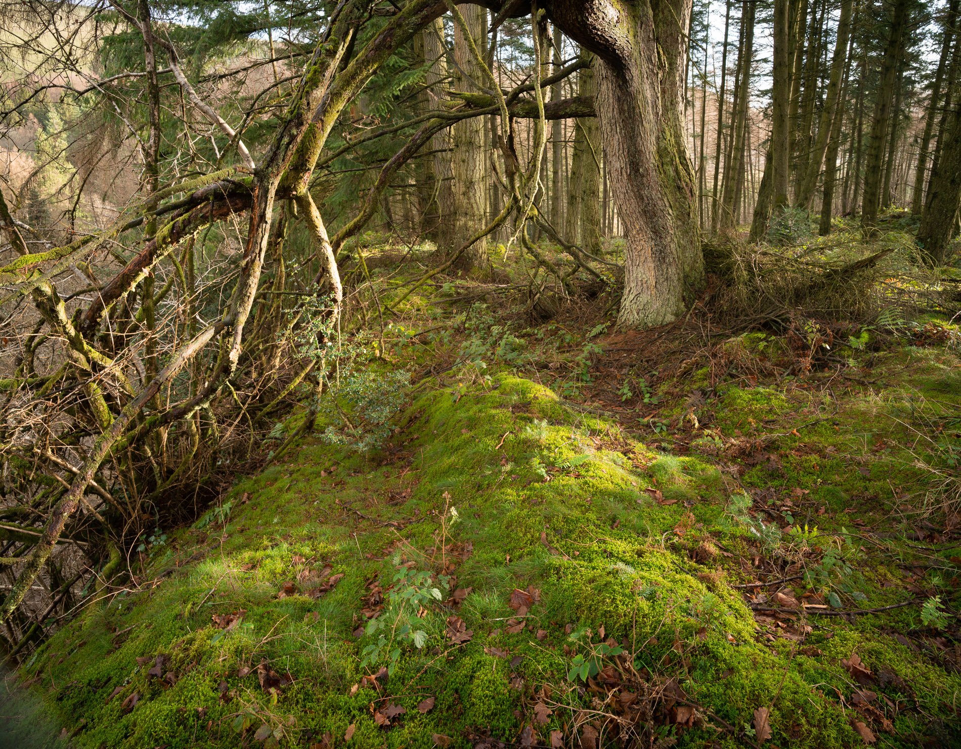
Hill Meadow, Castell Crug Eryr. August 2022

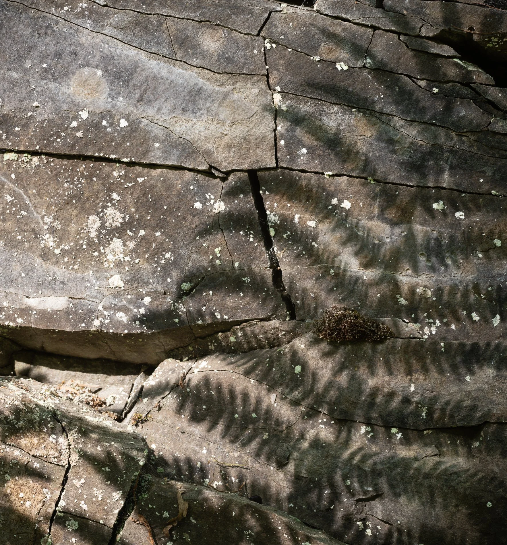
Llandegley Rocks Summit, August 2022

St Tecla's Church, Llandegley. August 2022
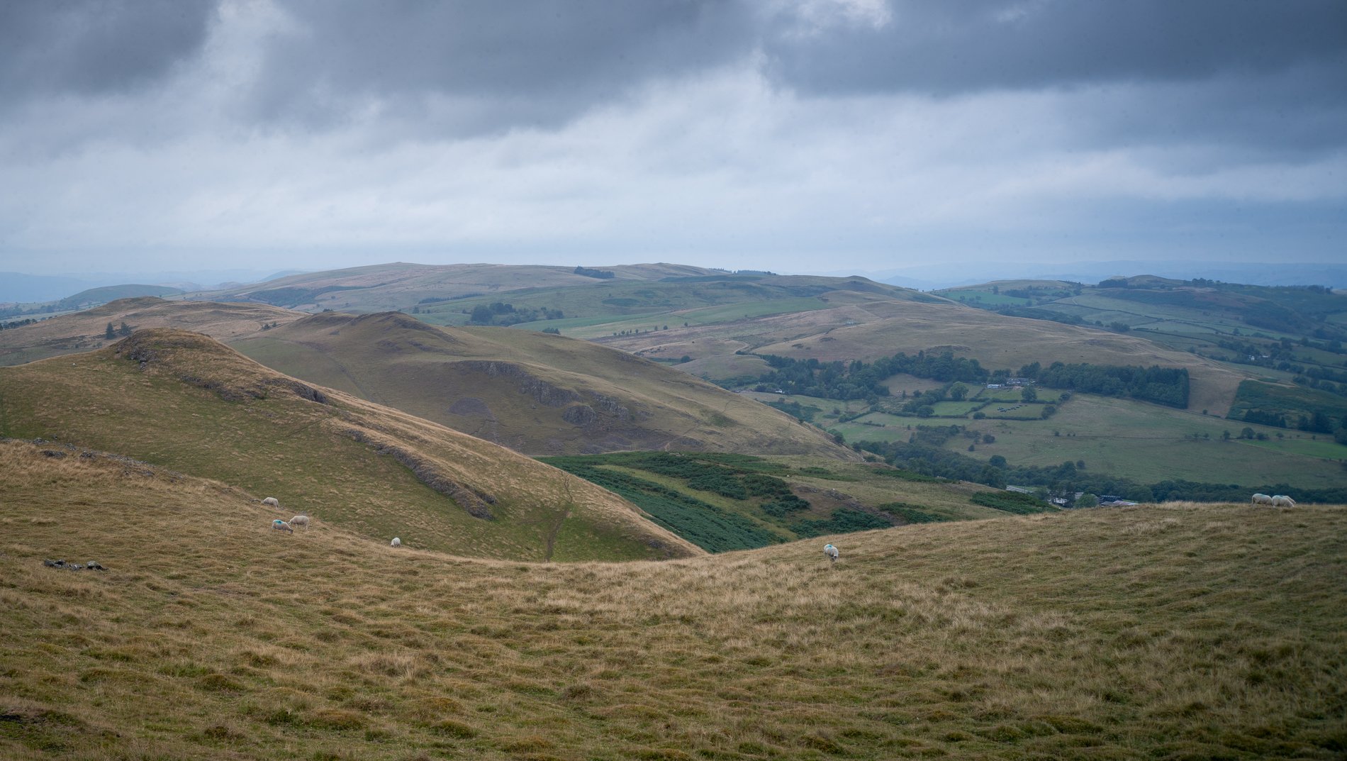
Summit Ridge, Llandegley Rocks. August 2022

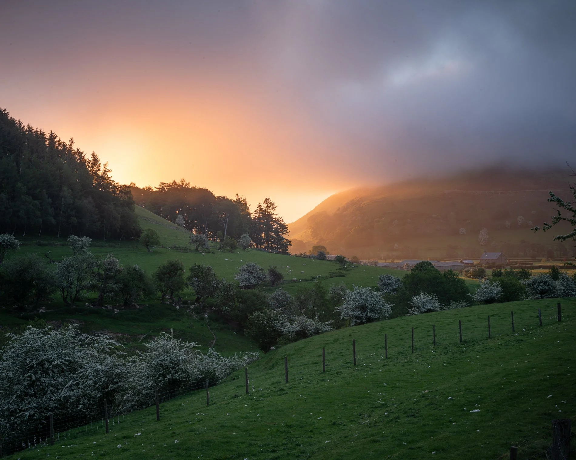
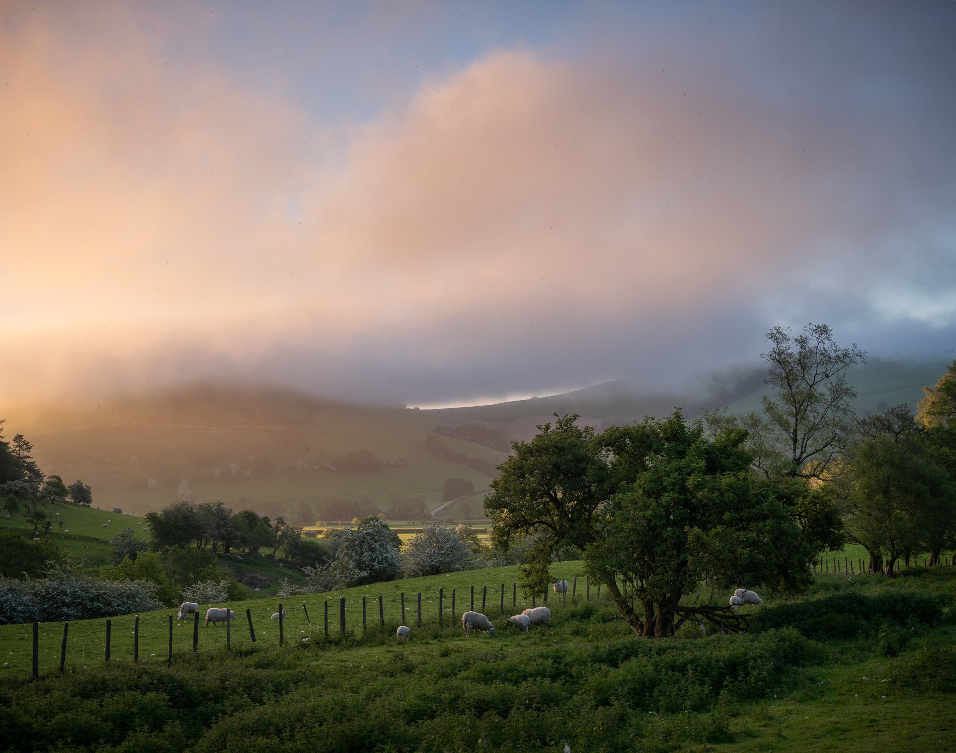
Summer Sunrise, Castell Crug Eryr. August 2022